Announcement: My online Land Navigation course includes four hours of video instruction, and two downloadable PDF books, all for about the same price as a typical paperback book. Get my Land Navigation course here.
How to Orient a Map
To orient a map means to line it up with the terrain, so that North on the map is pointing to North on the terrain. A map so lined up is easier to interpret and follow than a map spread out haphazardly.
Some of the best land navigators around are orienteers--those who participate in the cross-country running/map reading sport of orienteering. Half the activity of their sport is keeping their map oriented so they can navigate faster and with more accuracy. Whether or not you participate in orienteering, I'm confident you'll find that a properly oriented map is a huge help in finding your way. In my online video land-navigation course, I explain in lecture 20, how to orient a map.
Orienting the Map Visually
You can often orient your map visually:
- Line up your map with what you see around you. Place your map in such a way that the terrain features line up with your map’s features. For instance, line up roads, mountains, water towers—any terrain features that stand out enough to make orienting the map possible.
Once—in pre-GPS days—while on a canoe trip through the chain of lakes in Canada’s Quetico Provincial park, our professional guide expertly got us through about 100 miles of wilderness, without ever using a compass. At least, I never saw him with one. He’d just line his map up with the features of the lake we were currently on to find our portage to the next lake. He did this for ten days, taking us across numerous waterways and lakes. Come to think of it, I don’t even know if he had a compass.
Sometimes limited visibility means terrain features may not be visible. Fog or dense forest may mean you can’t see but a few feet around you in any direction.
No worries. You can always orient your map with a working compass.
Orienting the Map with an Orienteering Compass
1. Spread out your map.
2. Set your compass dial to 000 degrees.
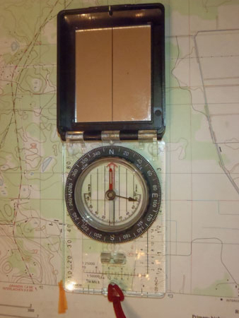
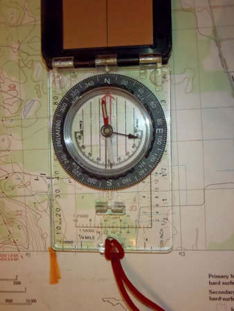
3. Line your orienteering compass’s base plate up with the map’s north-south lines.
4. Turn the compass and the map as a unit until you box the needle—i.e., Put Red Fred in the shed.
5. At this point, your map is almost oriented. Your action from here depends on the value and direction of your declination—east or west. We’ll say the declination value is 10 degrees.
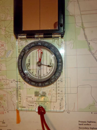
- West Declination: Making sure your compass’s base plate remains lined up with the map’s north-south lines, carefully turn the map and compass as a unit in such a way that the compass needle comes to rest 10 degrees to the WEST of North--(360 - 10) or 350 degrees. Your map is now oriented.
- East Declination: Making sure your compass’s base plate remains lined up with the map’s north-south lines, carefully turn the map and compass as a unit in such a way that the compass needle comes to rest 10 degrees to the EAST of North--(000 + 10) or 010 degrees. Your map is now oriented.
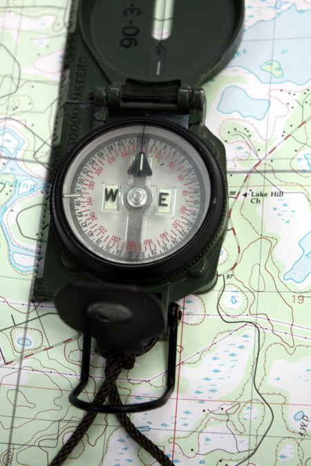
Orienting the Map with a Lensatic Compass
1. Spread out your map.
2. Line your lensatic compass’s base plate up with the map’s north-south lines.
3. Turn the compass and the map as a unit until the luminous magnetic arrow is directly under the fixed black line.
4. At this point, your map is almost oriented. Your action from here depends on the value and direction of your declination—east or west. We’ll say the declination value is 10 degrees.
- West Declination -Turn the map and the compass as a unit in such a way that the luminous magnetic arrow comes to rest 10 degrees to the WEST of North. The 010-degree mark on the dial (000 +10) will be directly under the fixed black line. Your map is now oriented.
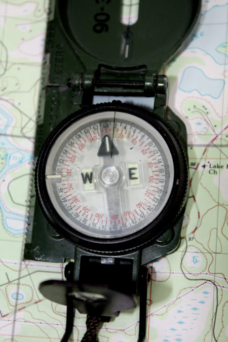
- East Declination - Turn the map and the compass as a unit in such a way that the luminous magnetic arrow comes to rest 10 degrees to the EAST of North. The 350-degree mark (360 - 10) on the dial will be directly under the fixed black line. Your map is now oriented.
Point of Interest
The instructions on this page might make orienting a map seem a highly technical thing. In actual practice, orienting your map is something you'll often do "on the run" and can be as simple as glancing at your compass needle and turning the map more or less accordingly. Or maybe using the sun to help put your map somewhat the right way around. So, don't sweat too much the minute details of getting your map finely oriented to the last degree with your compass. The big idea normally is to have your map more or less line up with the terrain so you can make sense of where things are around you.
Return from How to Orient a Map to Home